![]()

$5.99
Florida Tides & Fishing Regs
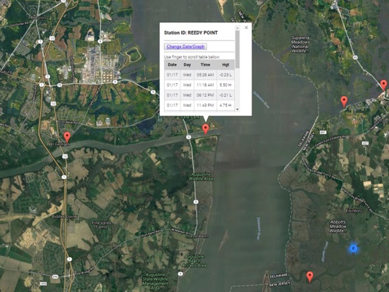
Accurate, simple to use Satellite Map based Florida tide charts of the all NOAA based Florida tide stations on a simple to use satellite map. Designed by Florida fishermen and Professional Florida Fishing Guides.
NO SPAM ADS, SIMPLE TO USE...100% AD FREE.
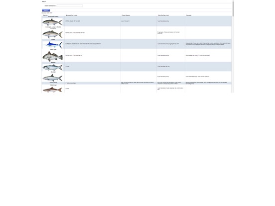
FWC (Florida Wildlife Commission) Fishing Rules and Regulations along with fish photo identification.
Other Features:
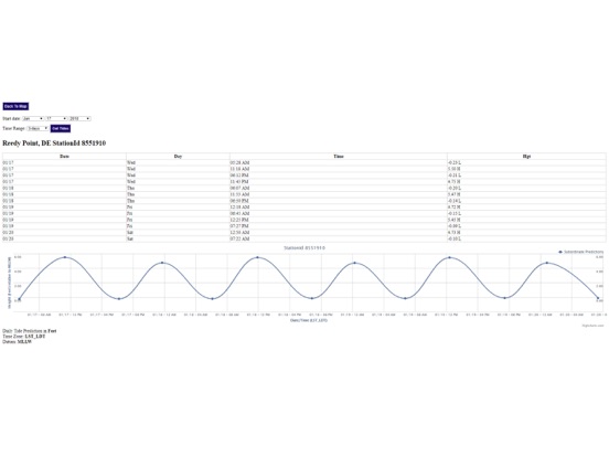
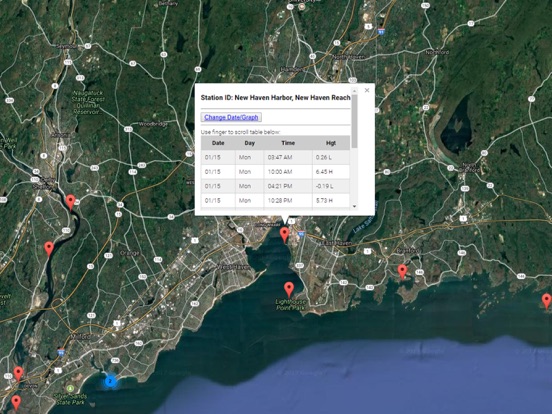
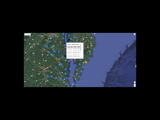
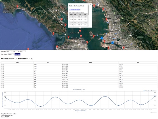
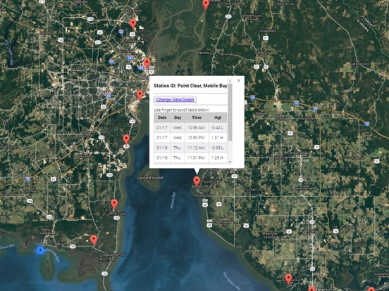
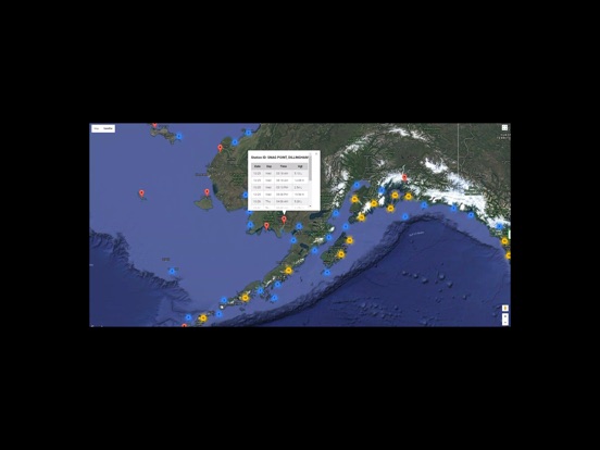
Ability to forecast Florida tides from NOAA by setting date and period for any of the tidal stations for the entire State of Florida tide tables.
Excellent support for any issues, questions or new features...simply email: [email protected] and we'll show you how Apple support is meant to be.
When GPS is available auto-locate your position and zoom to the map for surrounding NOAA Florida tide charts.
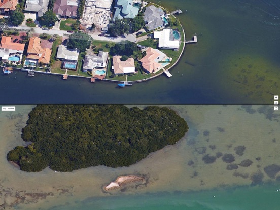
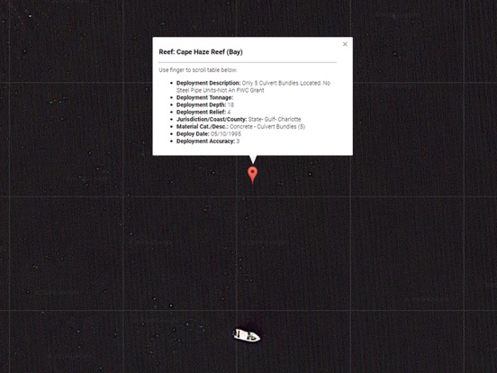
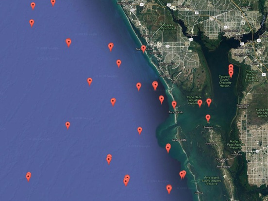
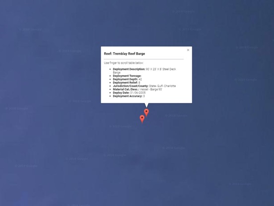
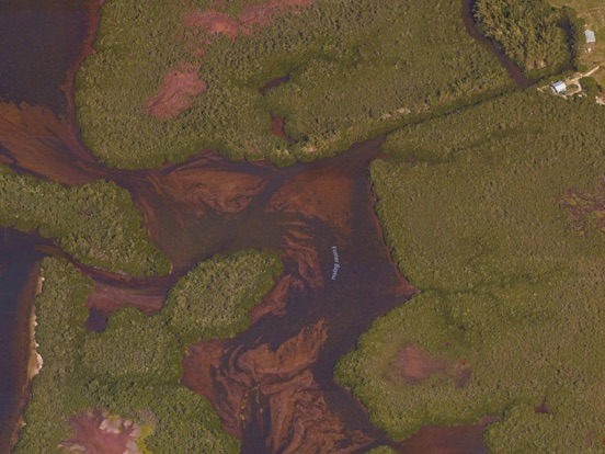
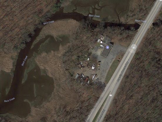
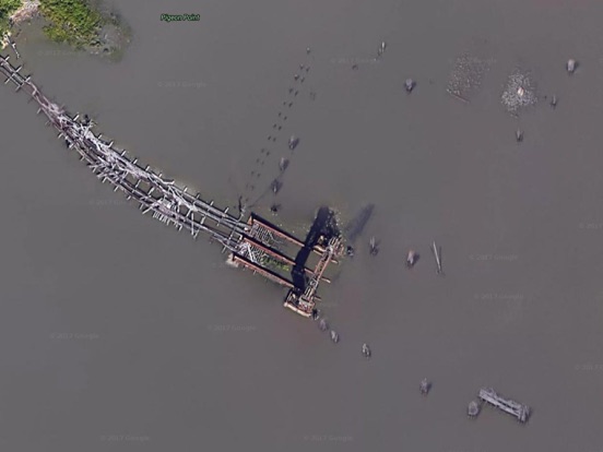
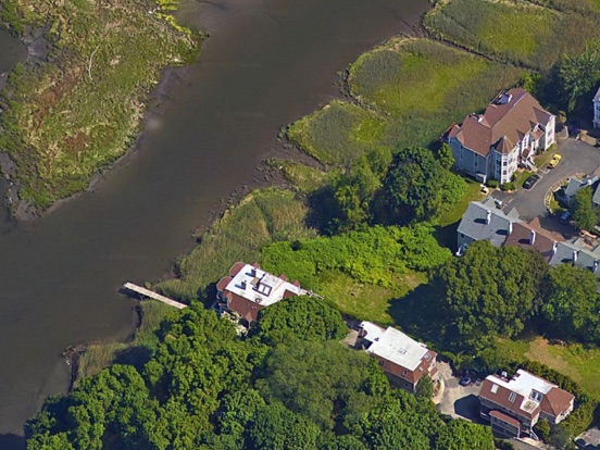
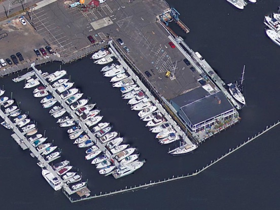
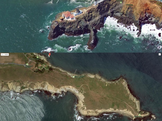
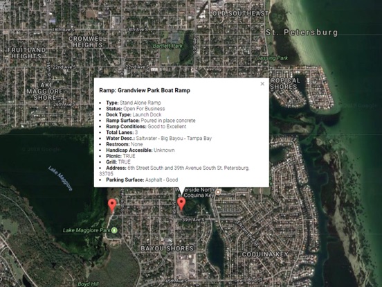
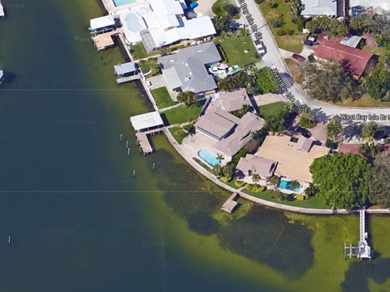
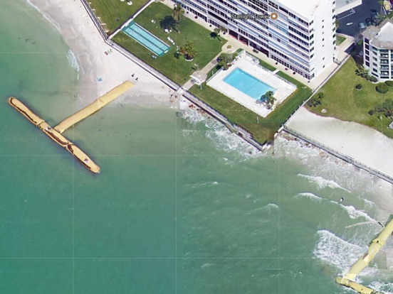
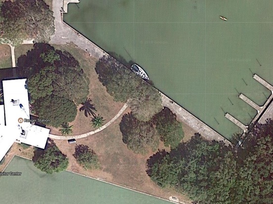
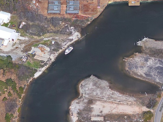
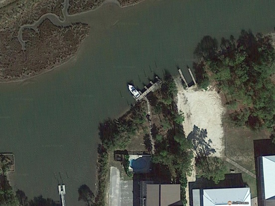
Included is the ability to zoom and view satellite imagery for fishing ground characteristics to compare with tide movement.
Updated 2012 FWC Florida saltwater fishing regulations and photos for easy Fish identification.
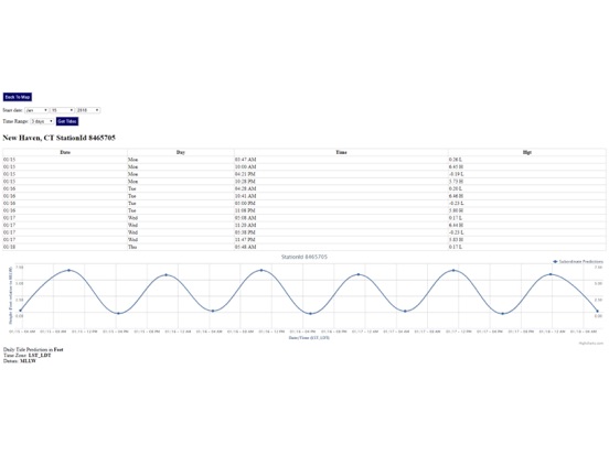
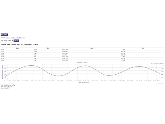
Advanced tide graphs allow for you to judge the level of water movement for optimal fishing between high and low tide in Florida between tide stations so you can follow the tide flow for the entire day.
Recent Feedback:
"NesTides ability to display tide predictions and actual tidal flow graphs allow me to extend fishing trips by following different tide station tide charts and moving with the tide flow. The satellite view allows me to explore and discover new fishing grounds I never knew existed. Absolutely the best fishing software tool I have ever used. ," said USCG Captain Mike K.
Florida tide tables, florida tides, florida tide charts
Support URL: https://www.nestides.com/contact-us/
Privacy Policy & Terms of Use URL: http://www.progresstechnologies.com/blog/120/privacy-policy-and-terms-of-use/